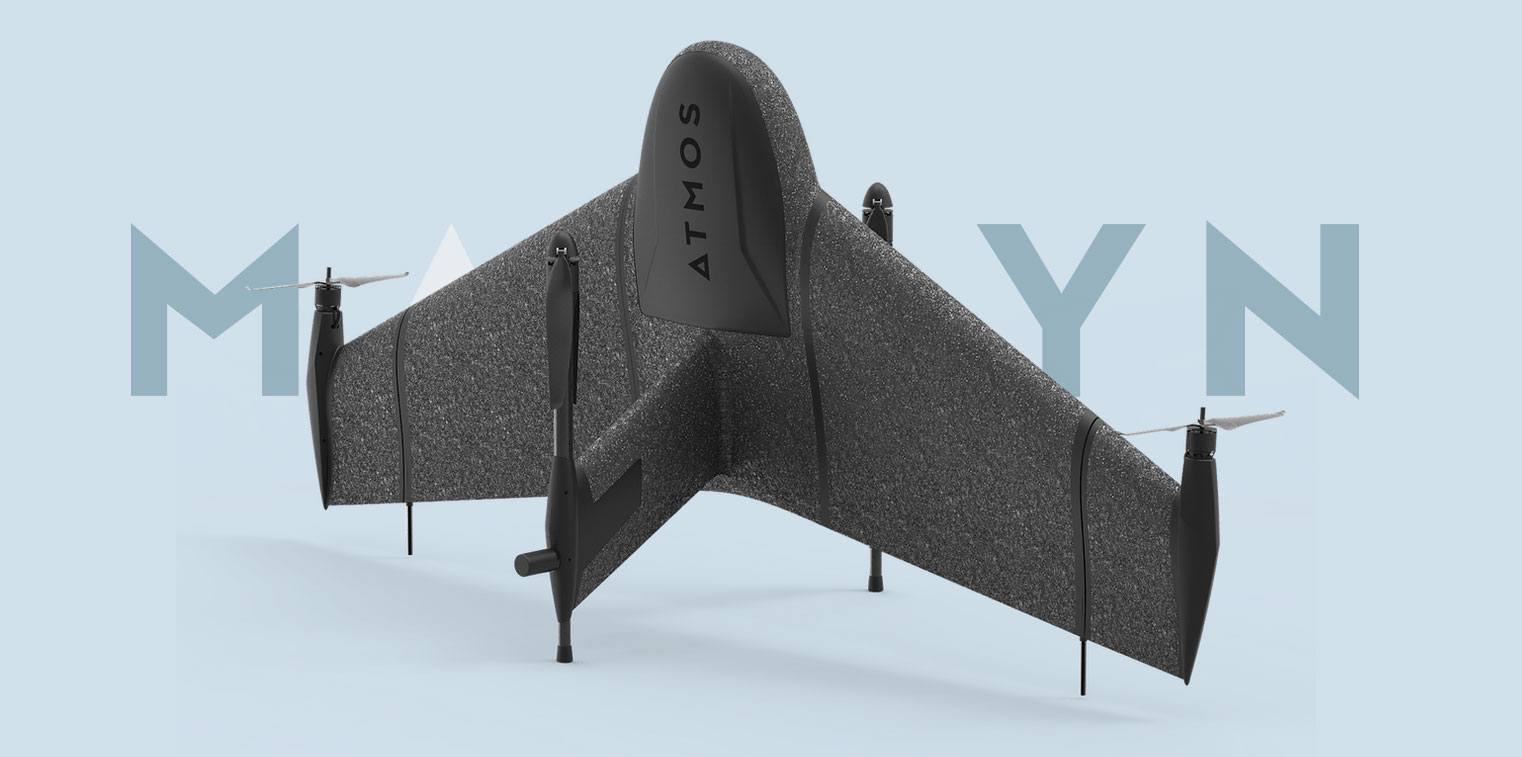
Marlyn
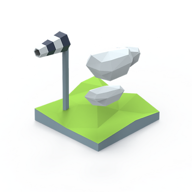
Surveyors deserve better than 30km/h wind limits. That's why with Marlyn you can take off, survey, and land comfortably in winds of up to 45km/h (28mph), more than any other survey drone.
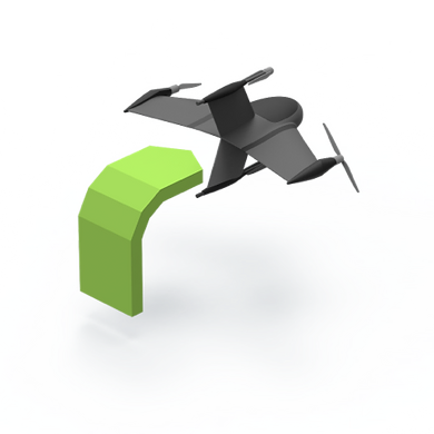
Take off like a Helicopter and Fly like an Airplane. With Marlyn you can operate from anywhere and cover up to 150Ha (370 Acres) per flight. No more finding large clear areas for belly landing!
To ensure high-end quality and ethical trade standards, we believe in keeping things local. That’s why all of our Marlyns are designed, created, and assembled right here in the Netherlands.
Take your data capture to the next level. Marlyn speeds up your data capture by surveying large areas up to 30x faster than traditional land surveying methods, and up to 10x faster than Multicopter drones.
With Marlyn 'no-go' days are turned into routine projects. You get the benefit of flying in wind conditions of up to 45km/h at ground level, and 55km/h at cruise altitude resulting in up to 30% more days per month.
Small take-off areas? No problem, Marlyn only needs a 2x2m flat area to take off and land allowing you to be flexible in your operations. Easy backpack transport is also perfect for those heading off the beaten track.
Accuracy is king in the surveying world. Attain accuracies as low as 1cm with Sony’s 42MP, full-frame RX1RII combined with Septentrio’s PPK module, an Aerial surveying match made in heaven!
Marlyn’s cameras are modular, meaning they're swappable in minutes. A variety of RGB and specialty cameras are available to suit your project requirements.

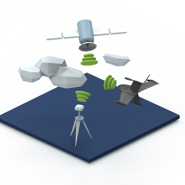
With your integrated Septentrio PPK, you can quickly survey areas down to accuracies as low as 1cm without the time-consuming placing and use of Ground Control Points, and without the need for a constant data link between the aircraft and the ground.

Developed with ease of use and Data Quality in mind, your in-field operation software Navigator and geo-referencing Geotagger will allow you to get survey-quality data without all the hassle and inaccuracies typically associated with certain mapping drones.
For further informations, advice or assistance, please click on the "Request Quotation" button