Categories
Optical Survey
Leveling / Thedolites / Total StationSurveying solutions for your business

GNSS
Antennas / Receiver / Controlleroffers the ideal system for every GNSS application. Powerful GNSS technology for unmatched accuracy.
Field Controller Software
Software for SurveyorWorld Leading Software for Surveying, Civil and Water Engineering
Survey Office Software
Software for SurveyorSoftware for Surveying, Civil and Water Engineering
3D Terrestrial Laser scanner
Leica / Faro / Z+F / RiegleDelivering outstanding range, speed and highest quality 3D data,
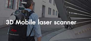
3D Mobile laser scanner
Leica / Faro / GeoSlam / Heron / StonexThe first complete mobile reality capture from a single provider.
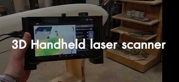
3D Handheld laser scanner
Dot product / Faro / Stonex3D handheld scanner for fast scanning of big objects and large areas from short to far ranges.
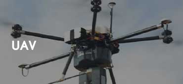
UAV
DJI / EbeeDrone Solution for a New Generation of Work
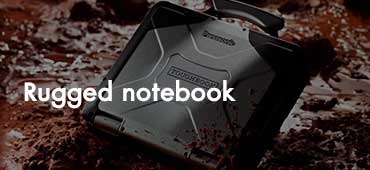
Rugged notebook
TOUGHBOOK / GTACWith a range of models, representing a rising scale of rugged durability, you’re sure to find a device that meets your notebook needs precisely.
3D Pointcloud software
Faro / Leica / Gexcel / ClearedgeRedesign of a building for repurpose, enhancement or maintenance requires on-demand,
Photogrammetry software
Pix4DThe leading photogrammetry software for professional drone mapping
ORBIT GIS Software
ORBITA FUNDAMENTAL STEP BEFORE ANY TAGGING, MAP PRODUCTION, OR DATA SHARING

Survey Accessories
Prism / Pole / Target Sheet / TapeAll have the need for professional accessories of outstanding quality.
Laser Scanner Accessories
scan & goSurvey technology & solution
