P O I N T C L O U D S O F T W A R E

RECONSTRUCTOR

RECONSTRUCTOR

Back

RECONSTRUCTOR

THE POWERFUL PROCESSING SOFTWARE FOR LIDAR DATA

A multi-sensor and multi-resolution software used worldwide to manage 3D point clouds and images coming from different lidar and imaging platforms.
Main features:

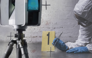
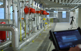
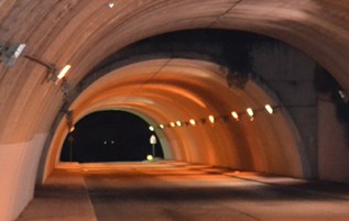
  • Processing of point clouds and raw data from several laser scanners (terrestrial, handheld, mobile, airborne)
  • Integration of point cloud models from UAV and photogrammetric surveys
  • Automatic target-less registration of 3D scans from various instruments
  • Colourization of point clouds with RGB images from high-res cameras
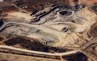
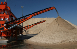
  • Creation of mesh models - Computation of volumes, areas, profiles, contour lines
  • Direct export of outputs and formats to the main third-party software (e.g ReCap Pro)


  • IMPORT POINT CLOUDS, MESHES, CAD MODELS

    Import of unstructured data also from different sensors, 3D point clouds, meshes and CAD models.

    AUTOMATIC ALIGNMENT ALSO WITHOUT TARGETS

    Advanced filtering, ICP automatic alignment and bundle adjustment, georeferencing.

    POST-PROCESSING, ANALYSIS AND OUTPUT EXPORT

    Meshes, hi-res textures, DTM, area & volume, final export to CAD and modelling software.
    Download


    Do you need Quotation ?

    For further informations, advice or assistance, please click on the "Request Quotation" button