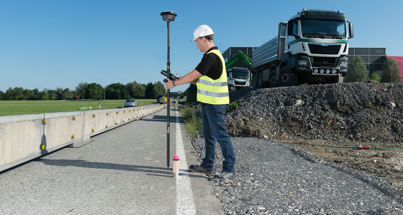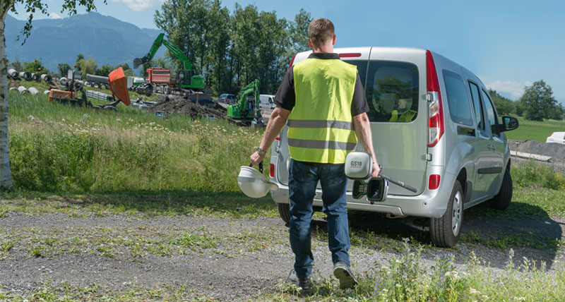

The GS18 is an excellent companion to a surveyor that primarily works with a network RTK such as HxGN SmartNet. Like most of the Leica Geosystems GNSS smart antennas, the GS18 works as a rover and a base.
.jpg)
Whenever you need the efficiency and safety improvements gained from tilted measurements, upgrade your GS18 to a tilt compensating rover. Any Leica Geosystems service can do the upgrade at any time.

The Leica Captivate field software is the perfect companion for the GS18. With easy-to-use apps, all measured and design data can be viewed and used, providing you with a clear understanding of your data in 2D and 3D view. Captivate spans industries and applications with little more than a simple tap, regardless of whether you work with GNSS, total stations or both.

Tracking multi-frequency signals comes as a standard to all Leica Geosystems GS sensors. Combined with an excellent GNSS antenna element and a position update rate of 20 Hz, the GS18 ensures reliable measurement quality.
For further informations, advice or assistance, please click on the "Request Quotation" button