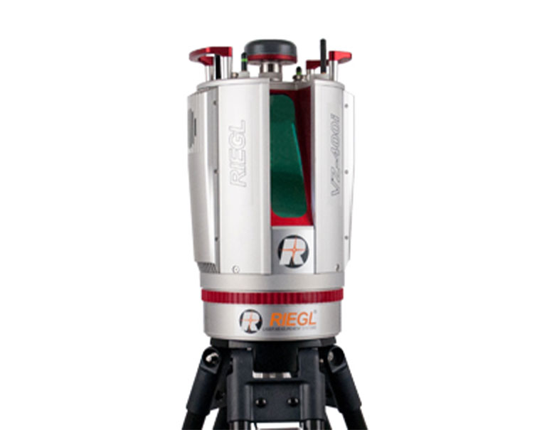
L A S E R S C A N N E R

RIEGL VZ-400i

RIEGL VZ-400i

Back

RIEGL VZ-400i

The RIEGL VZ-400i is a cutting-edge 3D Laser Scanning System which combines a future-oriented, innovative new processing architecture and internet connectivity with RIEGL’s latest waveform processing LiDAR technology.

This real-time data flow is enabled through dual processing platforms: a dedicated processing system for simultaneous acquisition of scan data and image data, waveform processing and system operations, and a second processing platform which enables automatic on-board registration, geo-referencing, and analysis to be executed in parallel. The VZ-400i provides an integrated 3G/4G LTE modem, Wi-Fi, and Ethernet communications hardware.
With its integrated orientation sensor (MEMS IMU, compass, and barometer) the VZ-400i’s up to 1200 kHz pulse repetition rate can be fully utilized in many environments and orientations. The system provides a high range of flexibility by supporting numerous external peripherals and accessories via its integrated USB ports and stable mounting points.

Main Features


  • High laser pulse repetition rate of up to 1.2 MHz
  • High speed data acquisition up to 500,000 measurements/sec
  • Eye safe operation at Laser Class 1
  • Wide field of view, 100°x360°
  • Range up to 800 m, accuracy 5 mm
  • High accuracy, high precision ranging based on echo digitization, online waveform processing, and multiple-time-around processing
  • Innovative processing architecture for data acquisition and simultaneous geo-referencing in real-time
  • automatic on-board registration
  • simultaneous image and scan data aquisition
  • User-developed apps via python software
  • Cloud connectivity via Wi-Fi and 3G/4G LTE
  • fully compatible with the RIEGL VMZ Hybrid Mobile Laser Mapping System
  • Multiple target capability
  • Optional waveform data output
  • Orientation sensor for pose estimation
  • Integrated GNSS receiver
  • Main Applications


  • As-Built Surveying
  • Architecture & Facade Measurements
  • Archeology & Cultural Heritage
  • Building Infrastructure Management (BIM)
  • Forensics & Crash Scene Investigation
  • City Modeling
  • Tunnel Surveying
  • Civil Engineering
  • Forestry
  • Research
  • Monitoring
  • Download


    Do you need Quotation ?

    For further informations, advice or assistance, please click on the "Request Quotation" button