
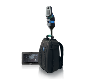
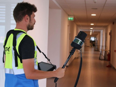
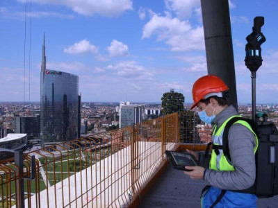
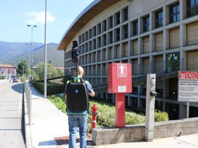
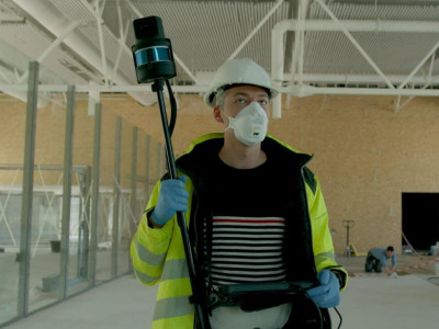
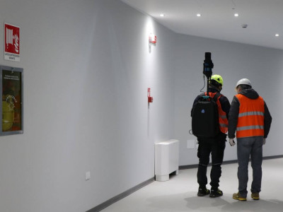
Powerful SLAM-based scanner for fast 3D mobile mapping, ideal everywhere: indoors, outdoors, underground mines, geospatial applications, multi-level buildings, tunnels, cultural heritage sites, forensic procedures, forests, urban areas...but especially harsh and complex environments.
Some unique features:
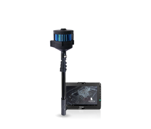
Double laser sensor and 5k pano camera for even more performaing results everywhere
Light and handheld, perfect when RGB information is not needed
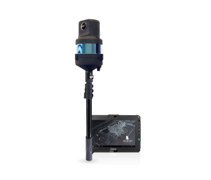
Handheld configuration with 5k resolution panoramic camera integrated
Thanks to the new panoramic camera, HERON is able to dramatically enlarge its fields of work: real-time BIM change detection, geospatial applications, objects recognition for facility management are only some of the many activities now possible with HERON.


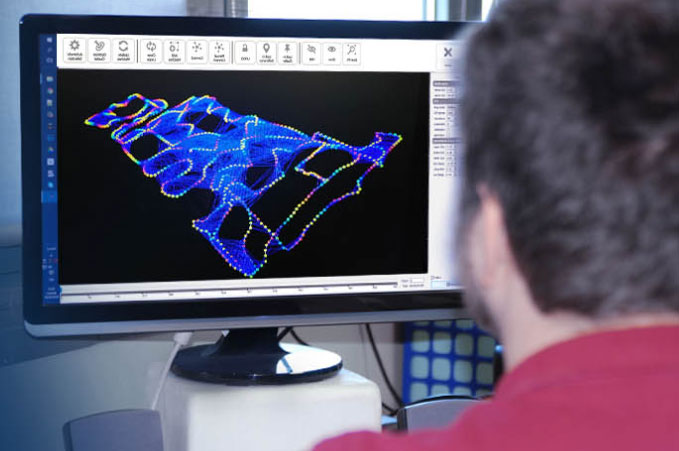
Import the collected data, adjust the trajectory, remove the point cloud noise, minimize the "drift" effects, export the final point cloud model, create reference maps, extract 2D maps.

Manage, visualize and share HERON's 2D maps and projects with colleagues or clients. Quickly obtain real measures from your HERON projects.
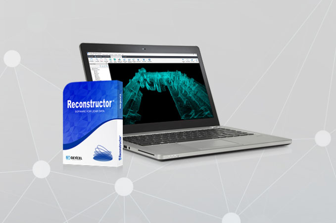
Import and register scans also at different resolutions, make advanced data analysis, get dedicated outputs (volumes, cross-sections, profiles, plants, vertical views), easily export to third party software (ReCap™, OrbitGT, EdgeWise, Verity).
For further informations, advice or assistance, please click on the "Request Quotation" button